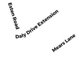
42 MEARS LN
Owner Information
CHEN MICHAEL
42 MEARS LANE
STOUGHTON, MA 02072


Property Details
42 MEARS LN is classified as a Single Family Residential (Colonial).
The primary structure on this property was built in 2013. There are 1,916ft2 of built area within this property. There is 1,916ft2 of residential/living space within this property. This property is listed as having 6 rooms.
42 MEARS LN is valued at $533,500. The land is valued at $173,700 and the structures are valued at $359,800.
This property is in Zone GB. Confirm with local Zoning Board authorities to ensure there are no overlays or other easements on this property.
The most recent deed for 42 MEARS LN is recorded at the local registrar in Book 31612, Page 319. 42 MEARS LN was last sold on Wednesday, July 31, 2013 for $399,000.
Assessment data from fiscal year 2022.
Flood Data
According to the FEMA National Flood Hazard Layer, this property does not appear to be in a flood zone. It may also be in an area not yet reviewed. Nonetheless, confirm this information prior to taking any action.
To view the flood hazards around this property, create a FEMA "Firmette" Map of the area around 42 MEARS LN.
Broadband Internet Providers
| Provider | Type | Bandwidth (mbps) | |
|---|---|---|---|
| Verizon New England Inc. | Fiber | 940 | 880 |
| VSAT Systems, LLC. | Satellite | 2 | 1 |
| HughesNet | Satellite | 25 | 3 |
| GCI Communication Corp. | Satellite | 0 | 0 |
| T-Mobile | Fixed Wireless | 25 | 3 |
| Crown Castle Fiber | Fiber | 0 | 0 |
| Viasat Inc | Satellite | 100 | 3 |
| Verizon New England Inc. | DSL | 10 | 1 |
| PAETEC Communications, Inc | DSL | 0 | 0 |
| Comcast | Cable | 1000 | 35 |
Broadband service provider data from December 2020.
Adjacent Properties
- 82 DALY DR EX
Single Family Residential owned by CAMPBELL LAWRENCE - 94 DALY DR EX
Single Family Residential owned by WALSH-MELIA MAUREEN - 32 MEARS LN
Single Family Residential owned by ROBERTSON EDWARD J JR - 0 MCEACHRON DR
Potentially Developable Residential Land owned by ELLIOT SCHNEIDER TRUSTEE - 104 DALY DR EX
Single Family Residential owned by PITT HELGA